Magnetic
Magnetic is an effective technique for mapping geologic structure, geology and mineralization in grassroots mineral exploration. It may also be used in combination with other geophysical methods in geothermal exploration, and oil and gas exploration.
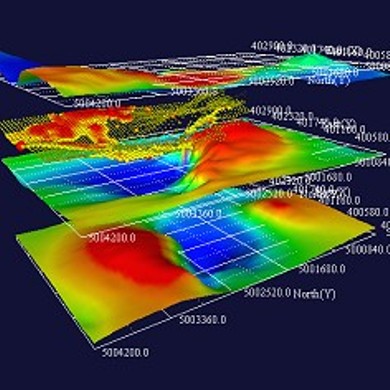
The Earth's magnetic field is known as a dipole – consisting of two alignments of magnetic poles. Within the earth, alignments of magnetic minerals, primarily magnetite, affect the amplitude and direction of the measured magnetic field – resulting in a very useful regime for detecting large or small variations that may reflect the geology, attitude and structural components in resource exploration.
PPZG is fully experienced to conduct, process and interpret magnetic surveys from either reconnaissance or local surveys based on its extensive experience with magnetic throughout its history.
The role of Magnetics has subsequently been extended to include mapping of alteration zones, lithologic boundaries, and orientation of geologic targets (including shape, attitude, etc.). Magnetic data can also be extremely useful for integrating with other earth science data as well as using data to guide the design and planning of further ground geophysical surveys.