Seismic Acquisition Design & QC
Acquiring high-quality seismic data requires innovative solutions to the many acquisition challenges that occur in land, transition zone and marine environments. Seismic surveys can be acquired in a safe and environmentally friendly manner when the proper planning, design and field management techniques are employed.
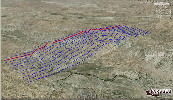
Optimizing a seismic survey to meet and surpass the proposed objectives is paramount to a successful exploration program. To meet this goal, PPZG uses our geophysical expertise and a variety of commercial software packages to model and design the survey. Once the modeling is complete, a seismic survey is designed which will optimize the calculated parameters and most accurately image the geologic target.
We check your basic survey parameters like target depth, dips, area size, required resolution, calculate fold and offset distribution and develop a custom made Survey Design.
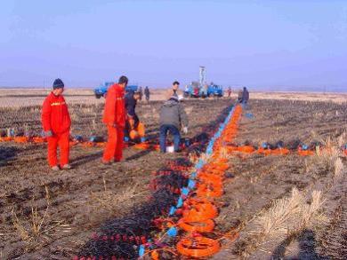
Field quality control of data can eliminate many potential problems with the processed data set. To provide comprehensive quality control, PPZG's experts have broad experience including land, marine and transition zone acquisition.